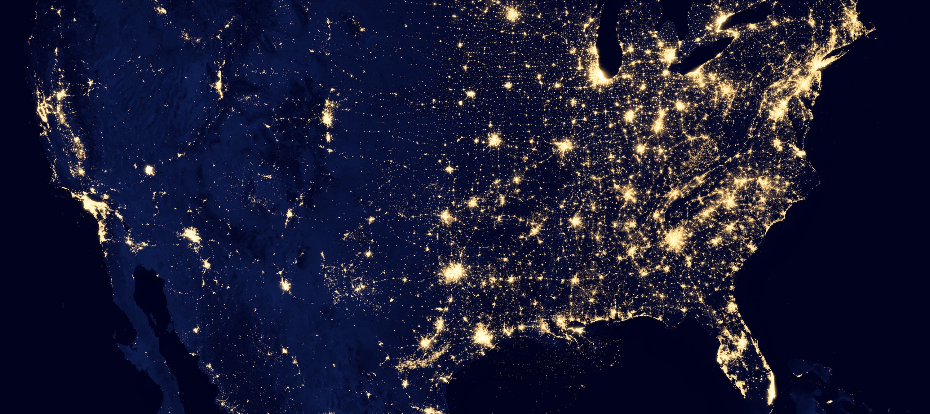
Our faculty in this focus area perform research in remote sensing and geographic information science and technology (GIST). This includes development of remote-sensing image classification algorithms, as well as GIS-based modeling and spatial-analysis techniques.
Remote sensing research focuses on development of automated techniques for estimating terrestrial biophysical properties (e.g., vegetation, soil), whereas GIS technique development focuses on geocoding, decision support systems and geovisualization.
Departmental areas of focus include: CyberGIS, geocomputation, artificial intelligence, terrain analysis and mapping, river floodplain and mountain geomorphology, cryospheric sciences, plant science, freshwater aquatic and coastal ocean ecosystems, health-science GIS, urbanization and land-use/land-cover modeling, interactions between socio-economic and biophysical systems, and systems modeling.
